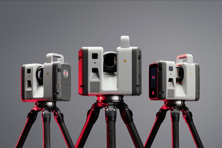
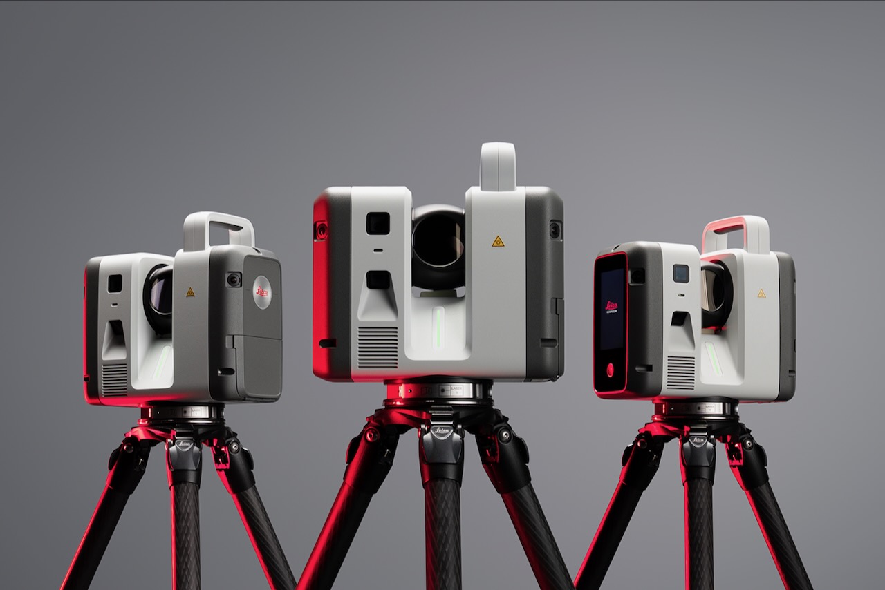
The Leica RTC series of terrestrial 3D scanners combine, Leica says, the speed, capability and versatility of the Leica RTC360 with the robustness and superior accuracy of the ScanStation P-Series, enabling specialised workflows across surveying, construction, industrial plants, public safety, and infrastructure.
The three scanners in the series offer different levels of performance. This will, Leica says, allow users to take on new and more demanding jobs, without needing the replace their entire scanning system.
The scanners are backed up by a new data service, Livelink, integrated in Leica‘s Cyclone Field 360 mobile app, which can stream scan data from multiple scanners to cloud service Hexagon GeoCloud, ensuring data is up to date in the field, cloud and office.
“The RTC series reflects where reality capture is headed: faster data capture, better connected teams, and a platform built to scale,” says Tanja Birner, president at parent company Hexagon’s scanning and mapping division. “It gives customers a more powerful way to work today – and the confidence that their investment scales with them.”
Got a story? Email [email protected]


