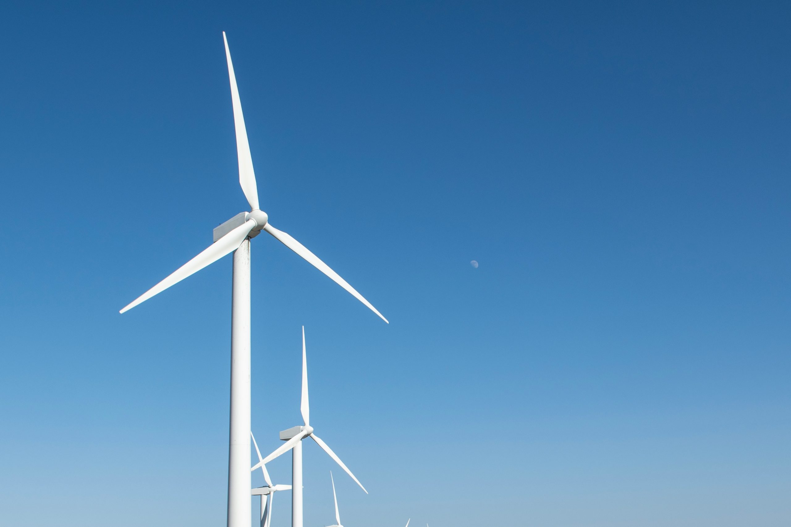
OTTAWA — Stantec, in collaboration with Net Zero Atlantic, has developed an open-access geospatial data platform designed to support offshore wind development and energy planning across Atlantic Canada.
According to a release, the platform provides provinces, developers, regulators, utilities, researchers and communities with a centralized resource to explore offshore wind opportunities.
“Through an interactive ArcGIS interface, users can access a range of geospatial maps and datasets that illustrate offshore wind resource potential, projected generation performance, technical and economic feasibility, and key infrastructure considerations,” the release reads.
The platform helps developers, utilities, policy-makers, and planners use data to develop insights and identify how offshore wind can be incorporated into the region’s evolving energy system.
“By making data more accessible and transparent, the platform supports evidence-based decision-making and long-term energy planning,” Stantec noted. “It also helps position Atlantic Canada as a leading destination for offshore wind development. The new platform is an important step toward accelerating clean energy deployment and creating collaboration across industry, government and communities.”